
Crash Data
New York's Deadliest Roads Aren't in the City. They're Upstate.
Genesee County's roads killed people at 7.6 times Manhattan's rate from 2019 to 2023. New York City has far more crashes. Upstate has the deadlier roads.

Key Finding
From 2019 to 2023, Genesee County recorded 51 traffic deaths against a population near 58,000, a rate of 88 per 100,000 residents over those five years. Manhattan's five-year rate was 11.5. Genesee's was 7.6 times higher. Thirty counties, nearly all of them rural and upstate, were deadlier per person than any New York City borough, even though the city recorded far more crashes overall.
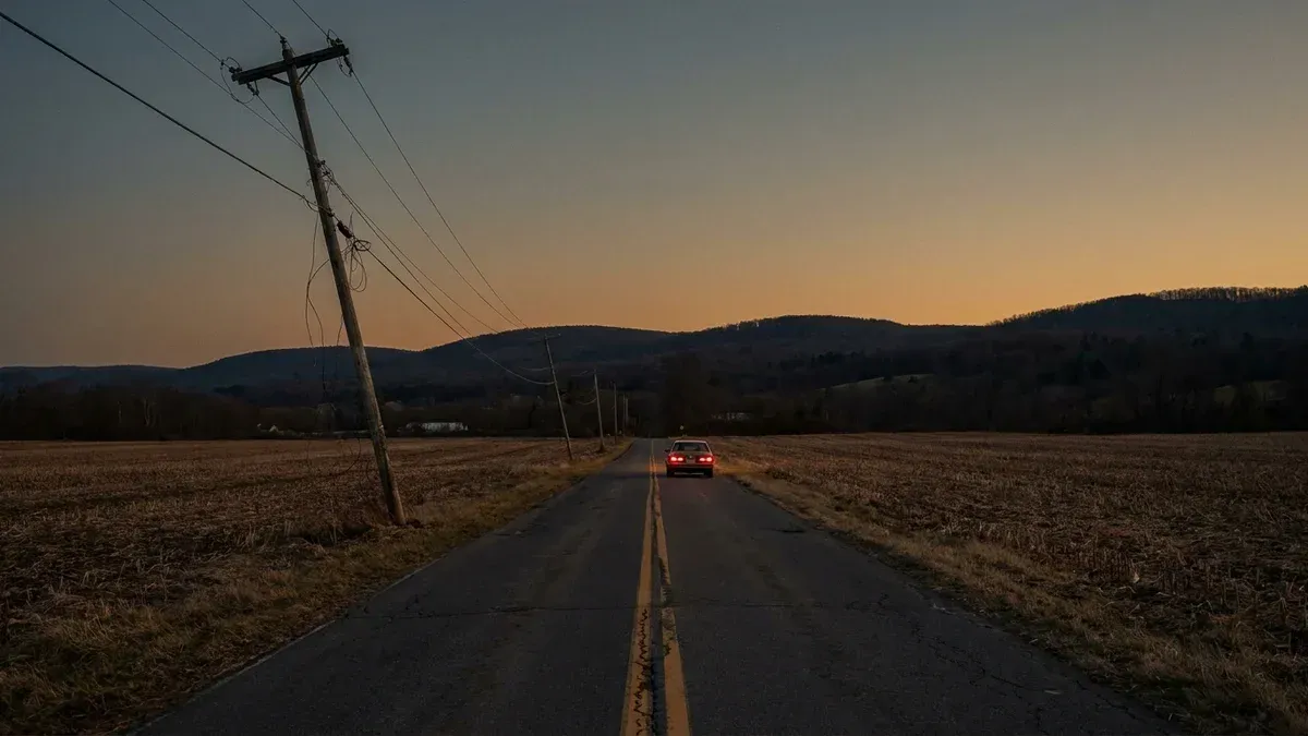
Genesee County sits an hour east of Buffalo, and over the last five years its roads killed people at 7.6 times the rate of Manhattan’s.
Ask most people where New York’s dangerous roads are and they’ll point at the city. The raw crash counts back them up. But the raw counts leave out the part that matters most: how many people live there. Adjust for that, and the map flips. The deadliest roads in New York State are rural.
7.6x
From 2019 to 2023, Genesee County's road-death rate was 7.6 times Manhattan's, per resident. New York City has far more crashes. Upstate has the deadlier roads.
NHTSA Fatality Analysis Reporting System and U.S. Census, New York counties, 2019 to 2023
We counted every traffic death in every New York county over the five years from 2019 through 2023, then divided by how many people live there.
The counties that come out on top aren’t the ones with the most crashes. They’re the ones where a fatal crash is most likely to reach the people who live nearby.
Methodology
We pulled every traffic death in New York State from the federal Fatality Analysis Reporting System, the national census of every crash that kills someone on a public road, for the five years 2019 through 2023.
We grouped the deaths by county and divided each county’s total by its 2021 Census population, the midpoint of the window, to get a rate per 100,000 residents.
To keep a handful of crashes from manufacturing a rate, we ranked only counties with at least 40 deaths over the five years. Every rate below is cumulative across those five years, not an annual figure.
The Map Flips When You Count People
New York City records the crashes. Over the five years, its five boroughs together lost more than 1,100 people on the road, and Suffolk County on Long Island alone lost 703. Those are the big raw numbers, and they’re real.
They’re also spread across millions of residents. Once you divide by population, the ranking turns over. Here are the rural and upstate counties with the highest road-death rates, next to all five New York City boroughs.
| County | Region | Road deaths, 2019 to 2023 | Population | Deaths per 100,000 |
|---|---|---|---|---|
| Genesee | Upstate (Finger Lakes) | 51 | 57,902 | 88.1 |
| Sullivan | Upstate (Catskills) | 57 | 79,731 | 71.5 |
| Oswego | Upstate (Central NY) | 82 | 118,010 | 69.5 |
| Columbia | Upstate (Hudson Valley) | 43 | 61,977 | 69.4 |
| Cattaraugus | Upstate (Southern Tier) | 50 | 76,551 | 65.3 |
| Warren | Upstate (Adirondacks) | 40 | 65,734 | 60.9 |
| Bronx | New York City | 229 | 1,420,392 | 16.1 |
| Queens | New York City | 358 | 2,328,286 | 15.4 |
| Brooklyn | New York City | 347 | 2,634,268 | 13.2 |
| Manhattan | New York City | 182 | 1,576,787 | 11.5 |
| Staten Island | New York City | 54 | 494,039 | 10.9 |
The city has the crashes. Upstate has the roads that kill you.
Read the two blocks together and the story is plain. The safest borough for its residents, Staten Island at 10.9 per 100,000, and the most dangerous, the Bronx at 16.1, both sit far below every county in the top block.
Genesee’s rate is more than five times the Bronx’s. A person is dramatically more likely to die on the road in rural Genesee or Sullivan than anywhere in the five boroughs.
Raw Counts Hide It. Rates Reveal It.
Manhattan recorded 182 road deaths over the five years. Genesee recorded 51, less than a third as many. On a raw tally, Manhattan looks like the far more dangerous place.
Then you count the people. More than 1.5 million residents live in Manhattan. Fewer than 58,000 live in Genesee. Once each death is measured against the population exposed to it, Genesee’s roads turn out to be 7.6 times deadlier than Manhattan’s, per person.
This isn’t one strange county. Sullivan, Oswego, and Columbia all cleared 69 deaths per 100,000, and thirty counties, nearly all of them upstate, beat every borough. The pattern holds across the rural map: two-lane highways, higher speeds, longer drives to a trauma center, and fewer of the sidewalks and signals that slow city streets down.
A Small County, Checked Closely
Rural counties have small populations, and a small population means a single bad year can swing a rate. Genesee’s own numbers invite that question, so we tested it.
Genesee lost 14 people in 2019, then 10, 7, 11, and 9 in the years that followed. No single year carries the rate. When we split the window in half, the first stretch runs 7.5 times Manhattan’s rate and the second runs 7.9 times.
Drop any one year entirely and the gap still lands at 7 times Manhattan’s or more. The number is steady, not an artifact of one grim stretch of road in one grim year.
An honest note on who gets counted: these numbers include everyone who died on a county’s roads, whether they lived there or were passing through. The rate measures how deadly the roads are relative to the people who live around them, not any single driver’s odds.
The same is true in the city, where commuter traffic swells Manhattan’s count, and its rate still comes in second-lowest in the state.
One caution belongs on the table. These are five-year rates, not annual ones. Genesee’s 88 per 100,000 works out to about 18 deaths per 100,000 residents each year, and Manhattan’s 11.5 to about 2.
The gap between the two is the same either way. It’s the size of the toll that reads differently once you place it over five years instead of one.
What This Means for New Yorkers
Behind every number in that table are families, and New York law puts a clock on each of them.
A family can bring a wrongful-death claim under EPTL Section 5-4.1 , generally within two years of the death. New York still limits those damages to economic losses, which means lost future earnings and funeral costs rather than the family’s grief. The legislature has tried to widen that more than once, and it hasn’t become law.
Rural crashes carry a second deadline that surprises people. When a road itself is part of the story, a blind curve, a missing guardrail, a worn-out shoulder, or a flooded low spot, the county, town, or state that maintains that road may share responsibility. Claims against a government run on a much shorter clock.
A General Municipal Law Section 50-e Notice of Claim is generally due within 90 days of the crash, and missing it can end a claim before anyone looks at the facts.
Note
New York’s wrongful-death deadline is generally two years from the date of death, and a Notice of Claim against a government entity is generally due within 90 days of the crash.
These deadlines are strict, and they run even if a family doesn’t yet know a road defect played a role. A family unsure whether a county road or its condition contributed should get the crash reviewed early, while the evidence still exists.
The county data also matters as evidence. When a fatal crash happens on a stretch of road the numbers already flag as dangerous, that record can help show a government knew about the risk. The pattern is public. Whether a specific road was on notice is the question a case turns on.
New York City has spent years driving its own street deaths down, and it shows. The statewide picture is a different story, and the rural one is harder still. The roads that kill New Yorkers at the highest rate aren’t downtown. They’re upstate, on the two-lane highways the rest of the state forgets.
Sources
- NHTSA. (2024). Fatality Analysis Reporting System (FARS). https://www.nhtsa.gov/research-data/fatality-analysis-reporting-system-fars
- U.S. Census Bureau. (2021). County Population Totals and Estimates. https://www.census.gov/programs-surveys/popest.html
Updated July 23, 2026
Frequently asked questions
- Where are the deadliest roads in New York State?
Measured by deaths per resident, the deadliest are rural, not urban. From 2019 to 2023, Genesee County recorded 88 traffic deaths per 100,000 residents over the five years, the highest rate in the state. Sullivan, Oswego, and Columbia counties each cleared 69 per 100,000. Every New York City borough came in under 17. The city records far more crashes in raw numbers, but its roads are much safer per person.
- Why are rural New York roads more dangerous per person than city roads?
The county data does not assign a single cause, but the pattern lines up with what safety researchers find nationwide. Rural roads carry higher speeds, more two-lane highways without medians, longer distances between crashes and trauma care, and fewer sidewalks and signals. Cities move more people at lower speeds. That is why a place like Manhattan can have many more crashes and still a far lower death rate per resident.
- How much deadlier is Genesee County than Manhattan?
Over 2019 to 2023, Genesee County's road-death rate was 7.6 times Manhattan's, per resident. Manhattan recorded 182 deaths against Genesee's 51 in raw numbers, more than three times as many, but Manhattan has more than 27 times the population. Adjusted for the number of people who live there, Genesee's roads were far deadlier.
- Can a family sue after a fatal crash on a rural New York road?
Yes. A family can bring a wrongful-death claim under EPTL Section 5-4.1, generally within two years of the death. If a road condition contributed and a state, county, or town is responsible for that road, a Notice of Claim is generally due within 90 days under General Municipal Law Section 50-e. Those deadlines are strict, so families often talk to a lawyer early.
Injured in NYC? Talk to a Trial Lawyer.
Free consultation. No fee unless we win.
For journalists, researchers, and re-publishers
Use this insight
Cite this insight
Three formats. Click to copy. Use whichever your style guide accepts.
APA AP style BibTeX
Antin, J. S. (2026, July 23). New York's Deadliest Roads Aren't in the City. They're Upstate.. AEE Law Insights. https://aeelaw.com/insights/upstate-ny-roads-deadlier-than-the-city/
Contact the data desk
AEE Law editorial desk. Press inquiries answered within one business day.
Contact the data desk
Methodology
Data sources
- NHTSA Fatality Analysis Reporting System (FARS), New York counties, 2019 to 2023
- U.S. Census Bureau, county population estimates, 2021
Processing notes
We counted every traffic death in each New York county from the federal Fatality Analysis Reporting System for the five years 2019 through 2023, the latest final files. We divided each county's total by its 2021 Census population, the midpoint of the window, to get a five-year rate per 100,000 residents. We limited the ranked table to counties with at least 40 deaths over the period so a handful of crashes could not manufacture a rate. These are cumulative five-year rates, not annual rates. Genesee's works out to about 18 deaths per 100,000 residents each year, Manhattan's to about 2.
Limitations
- The rates are cumulative over five years, not annual. Genesee's 88 per 100,000 is about 18 per year, Manhattan's 11.5 is about 2 per year.
- Rural counties have small populations, so one bad year moves the rate. We checked Genesee year by year and across split windows, and the gap stays at least 7 times Manhattan's throughout.
- The counts include everyone killed on a county's roads, residents and travelers passing through alike. The rate measures how deadly a county's roads are relative to the people who live there, not any one resident's personal risk. That cuts both ways: commuter traffic swells Manhattan's count too, and its rate still lands second-lowest in the state.
- FARS counts deaths within 30 days of a crash, not later deaths from the same crash.
- The count does not identify who was at fault or whether a road defect contributed to a crash.
Peer review
Internal review only.
Last updated
2026-07-23
If you were injured in New York and need a lawyer, get Jeff's read on your case.
More from AEE Law Insights
Five Years Later, New York's Traffic Deaths Are Still 18% Above 2019
New York recorded 1,101 traffic deaths in 2024, 17.9% more than the 934 recorded in 2019, the state's pre-pandemic low. Deaths peaked at 1,182 in 2022 and have eased since, but they remain well above where they stood before the pandemic. The decade of steady declines that ran through 2019 has not resumed.

The NYC E-Bike Injury Ledger: Every Crash, Every Person Hurt
New York's e-bike-involved crashes have injured 17,434 people and killed 133 since 2019, pedestrians and delivery riders alike. This ledger comes from a full review of 2.27 million NYPD collision records, counting e-bike crashes through May 2026. In 2025, eight of the city's 23 cyclist deaths happened in e-bike-involved crashes.

New York's Own Checkpoint Schedule Gives Away the Real Danger Days
NYPD collision records for 2014 through 2024 show July 3rd and July 5th combined average 166.8 people injured per day, 11.3% above every other day of the year. July 4th itself runs flat, 150.5 injured against a 149.8 baseline. Nationally, July 4th is the single deadliest calendar day on record, 25 years running, and the sharpest local spike inside that window hits at 10pm, not the afternoon. New York's own statewide numbers point past the Fourth too. July 5th ranks worse than July 4th for road deaths over the same 25-year record.